
In an effort to help resource managers identify vulnerable areas and suitable restoration techniques, David Thoma and colleagues assess plant responses to wet and dry periods in some of the USA’s national parks. The full article, Landscape pivot points and responses to water balance in national parks of the southwest US, is available in Journal of Applied Ecology.
The problem
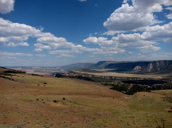
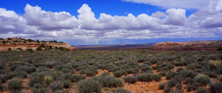
Knowing when, where and how native vegetation responds to their climate can help natural resource managers determine effective strategies to maintain ecosystem productivity inside national parks. Results from long-term vegetation monitoring can inform these strategies, but such information is sparse, especially in remote areas of parks in the southwestern U.S. This region has strong gradients in topography, soils and vegetation traits that modify water availability and use, which challenges the conventional wisdom that simple measures of precipitation are sufficient to understand vegetation responses.
So what?
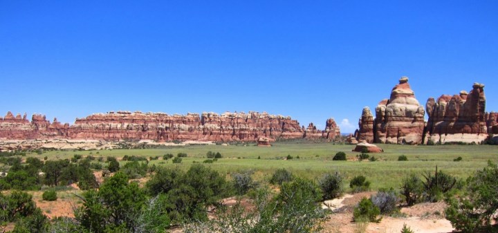
Native vegetation is the engine of net primary production, which forms the foundation for food webs, carbon storage, and wildlife habitat in protected areas. If native vegetation is negatively influenced by drought and high temperatures expected for the southwestern U.S., these biological functions will likely deteriorate, as will visitor experience and appreciation of park landscapes. How different would a visit to Canyonlands, Arches or Zion National Park be without their iconic blackbrush shrublands, grasslands, and pinyon juniper woodlands? In order to mitigate and prepare for vegetation transitions, natural resource managers need to identify vulnerable areas and understand where land treatments, including restoration, are most needed.
The solutions
We evaluated plant response to wet periods and drought resistance during dry periods using high-frequency satellite imagery inside parks of the southwestern U.S. We determined how native vegetation and soil properties mediated these climate sensitivities using a water balance approach that models water availability, use by vegetation and unmet need. Understanding these linkages allows natural resource managers the opportunity to monitor water balance conditions to predict native vegetation production responses in many areas of these parks. These areas could be management targets for further protection as climate refugia or locations that may be suitable for restoration.

The benefits
Methods for broadly tracking current and evolving conditions of vegetation with respect to water availability, use and need can help land managers understand ecosystem vulnerability and when and where management actions are likely to succeed.
Read the full article, Landscape pivot points and responses to water balance in national parks of the southwest US, in Journal of Applied Ecology.
Photo credits: Luke Gommermann and Amy Washuta
