
In their latest research, Guerin and colleagues combine the predictive power of Generalised Dissimilarity Modelling (GDM) with practical considerations to strategically gap‐fill an established network of ecosystem surveillance plots—TERN Ausplots.
Monitoring Australia’s vast and diverse terrestrial ecosystems is a complex and time-consuming task. To effectively detect, interpret and act on changes in Australian ecosystems, it is vital that scientists and land managers have access to high quality, representative data, samples, and advice.
TERN is an Australian Government-funded national ecosystem monitoring network, which provides data and samples to researchers and land managers. It collects ecosystem data and samples from around Australia using highly instrumented monitoring sites, field surveys and remote-sensing techniques such as drones and satellites. TERN shares these data to enable Australia’s world-leading research on climate change, biodiversity, water and soil.
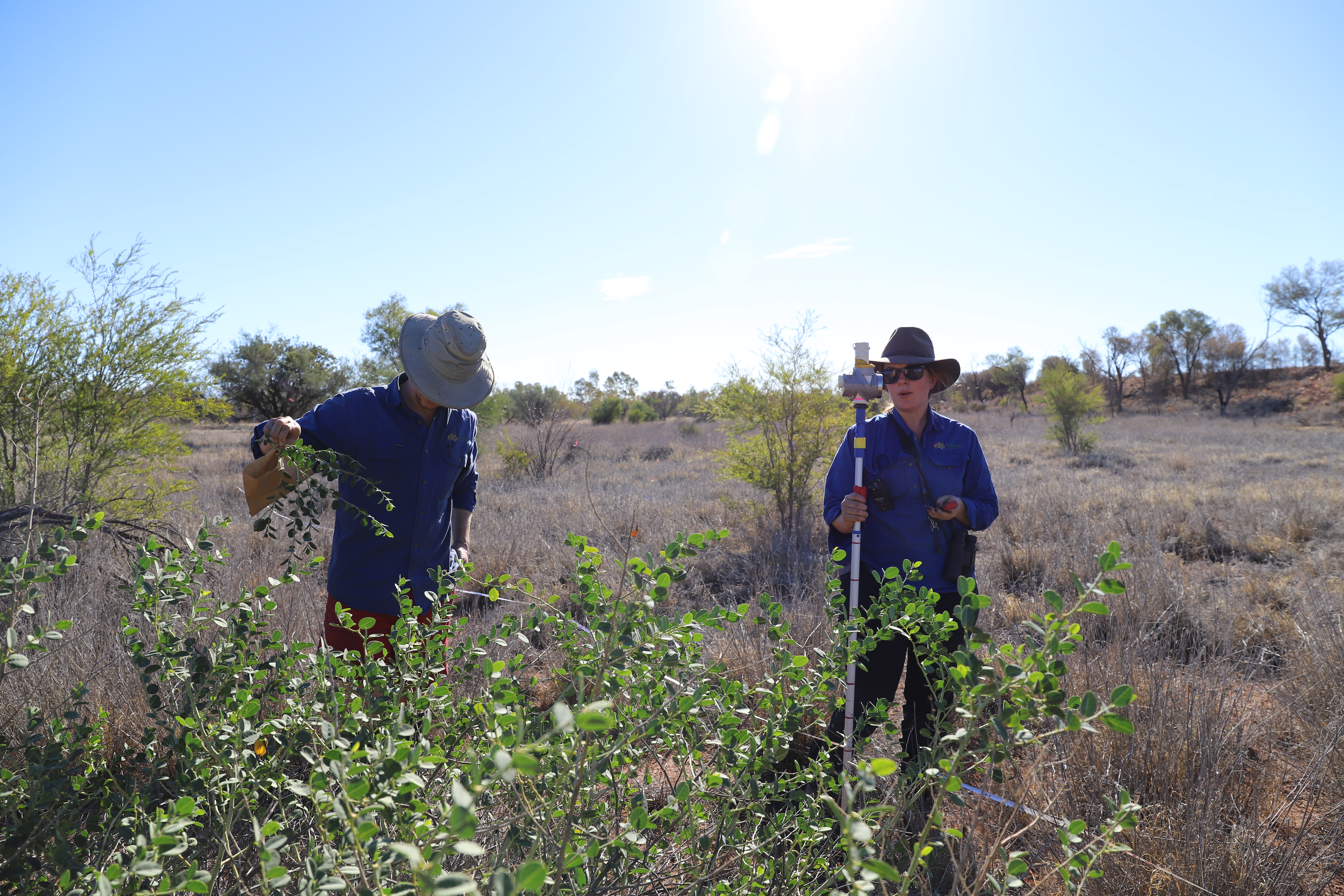
Over the past 10 years, the Ecosystem Surveillance team at TERN have collected soil and vegetation data and samples from over 750 one-hectare plots across the Australian continent – using the AusPlots Rangelands Survey Protocols: (Ausplots Methods).
The AusPlots program aims to ensure every terrestrial ecosystem in Australia is represented in the sample and data libraries, so that environmental change across all systems can be monitored and gaps in information identified. However, because there is a practical limit on the total number of sites that can be monitored, we must select survey plots that efficiently increase ecological representation.
Maximising ecological coverage in the absence of fine-scale biodiversity survey data
In our paper, we report a powerful strategy to determine which new plots best complement the ecological pattern of an existing set of plots and assess how well the method performed over time. We aimed to maximise information gathering efficiency in field campaigns, and ensure user confidence in robust, objective data collection.
We wanted to know:
- How ecologically different are the plots which had already been sampled?
- As we visit more plots, where are the gaps in environmental coverage?
- How well are we filling the gaps as we add more plots?
A combination of field campaigns and data modelling
We demonstrate that cycles of modelling and field-based surveys, with regular feedback of information between the two, it is possible to design an efficient program to include representation of all ecosystem types in a national ecosystem monitoring network.
Rather than choosing new plots by looking at the map and selecting geographic gaps, we used an ecological modelling method known as Generalised Dissimilarity Modelling (GDM), combined with targeted field campaigns, to ensure representative sampling.
We used the comprehensive species composition data recorded in 531 TERN Ecosystem Surveillance plots already established across Australia to create a biodiversity model to inform the general location of further gap-filling surveys, which were predicted to be the most different using GDM.
This approach contrasts with the original methods used to establish the TERN AusPlots network, which used environmental layers in the absence of ground data at that stage. The advantage of the collected plant species composition data is its ability to capture complete sets of co-occurring species at patch scale – it is the only standardised dataset of plant species identity and abundance across Australia.

A pragmatic approach leads to real-world decision-making
Iterative modelling, combined with field campaigns targeting highlighted areas, offers a practical approach for gap-filling survey plots across Australia that balances quantitative information with practical constraints.
This method of plot selection has provided a logistical advantage, where a relatively small number of plots were required to gap-fill, given the size and diversity of the Australian landscape. The TERN Ecosystem Surveillance field team can now focus on targeting smaller remaining gaps and revisiting plots to add temporal depth to the data and sample libraries.
Read the full article Using generalised dissimilarity modelling and targeted field surveys to gap‐fill an ecosystem surveillance network in Journal of Applied Ecology.
