
Why are the United Nations advocating for citizen science and technology? Using an Australian case study, let’s see how drones and local communities may be the answer to large scale and ongoing ecological monitoring.
In the past, research in inaccessible areas has been limited to either small samples sizes, due to high costs and safety issues, or lower resolution data from satellites. However, drones can fill the gap between what can be achieved on the ground and what can be done using satellites and fixed wing aircrafts.
Over the last 10 years, drone technology has become cheaper and more accessible, allowing for their increasing and wider use in ecology. Drones are now used for various projects including low disturbance, remote wildlife monitoring of penguins, orangutans, nightjars and fur seals, and higher resolution mapping in 2D, 3D and multi spectral mapping.
Further, recent projects in Spain and Australia have utilised the potential for larger scale data collection by working with groups of citizen scientists to fly drones and collect data over large areas on a regular basis.
These projects aren’t without challenges: legislation, permit processes and land access permissions can restrict drone use, and these often vary by region. There are also perceptions issues, both in terms of moving away from methods used historically and some negative attitudes towards data collected by citizen scientists.
However, with increased accessibility there is greater clarity in terms of how this technology can be used, and the United Nations has made it clear that traditional methods of data collection will not be sufficient. Clearly, technology and citizen science will form a key component of future data collection and monitoring.
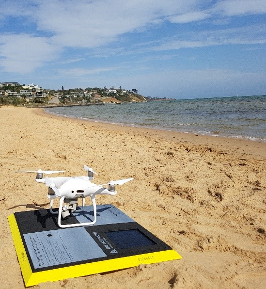
Case Study: Australian Victorian Coastal Monitoring Program (VCMP)
In 2017, the Department of Environment, Water, Land and Planning (DELWP) partnered with local universities (Deakin University, University of Melbourne and Monash University) to develop the VCMP to monitor the Victorian coastline.
As part of the VCMP, local community groups are trained to fly drones to monitor the volume, height, and extent of sediment from 16 priority locations along the coast every six weeks. Since 2018, 322 datasets have been collected, allowing fine scale modelling of coastal change to inform management decisions and policy.
Without the help of over 140 citizen scientists, this data could not have been collected and the project was recognised with the Australian Museum Eureka Prize 2020 for Science Engagement.
What can we expect next?
Drone use is changing and expanding in the ecological space, and technology is being developed in various ways to support this:
Machine learning algorithms for drones are currently being developed, with the potential to improve the costs and efficiency of collecting and processing drone datasets.
Animal tracking sensors have recently been developed, so that drones can track down and monitor animals. Focusing initially on endangered wildlife monitoring, this will likely be expanded to animal movement and behaviour research and monitoring.
Long term monitoring in remote areas: by installing data collection devices in remote areas with solar panels, drones will be able to download that data remotely, greatly reducing the amount of time spent in remote and difficult to access areas.
Restoration planting by drones, with the ability to follow planting plans and shoot seeds into the ground. This has recently been used to assist with restoration after fire in Australia.
Whatever the future technological advances might be, citizen scientists are going to be key in collecting the data needed to make informed decisions on how to manage the environment.
Do you agree? Share your thoughts in the comments below.
