
When dealing with highly invasive plants in fragile ecosystems, managers need effective management tools to prioritize their time and efforts. In their recently published Data Article, Gerst and colleagues describe a new tool by the USA National Phenology Network to help invasive buffelgrass managers efficiently schedule herbicide treatment efforts.
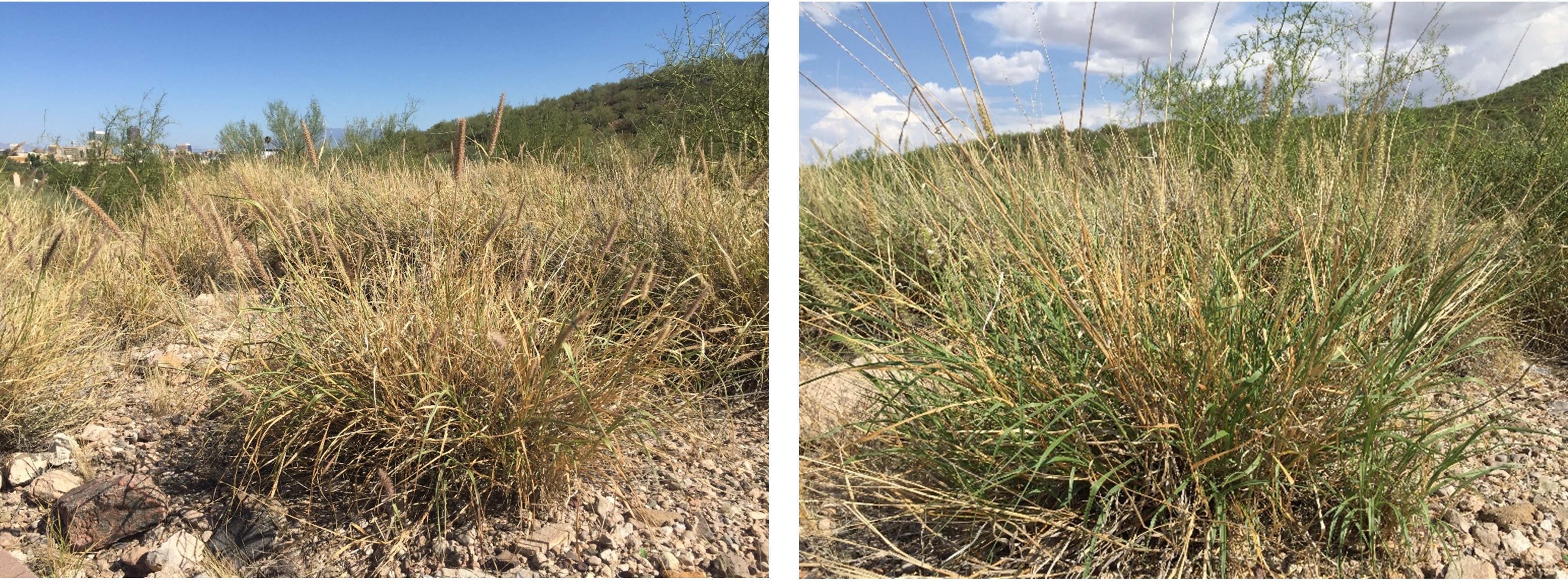
The Sonoran Desert, which covers the southern half of the Arizona, southeastern California, and large portions of the Mexican states of Sonora and Baja California, is host to the greatest species diversity of any desert in North America. In the last century, the Sonoran Desert has also become host to buffelgrass (Pennisetum ciliare), a large, perennial bunchgrass introduced to Southern Arizona in the 1930s for cattle feed and erosion control.
Buffelgrass poses multiple threats to the Sonoran Desert and its inhabitants – fire hazard, species loss, ecosystem transition, and economic loss. It is fire adapted, burning hot and introducing fire to a system that traditionally only experiences fires every 250 years, and thrives in the wildland-urban interface, posing a danger to residential areas. Buffelgrass is also a threat to desert species including the iconic and keystone saguaro cactus which can experience 20-80% mortality from buffelgrass-fuelled fire.
Because it is fire adapted, its seeds are often the first to establish after a buffelgrass fire, while native seeds burn. Buffelgrass threatens to transform entire ecosystems to buffelgrass monoculture, posing a serious threat to local economies that depend on tourists attracted to the Sonoran Desert’s species diversity.

In sum, buffelgrass spreads rapidly and is difficult to control. The exact range of buffelgrass across the Southwestern U.S. and Northern Mexico is unknown, though mapping efforts are underway. A study in Saguaro National Park estimated a 350% increase in buffelgrass over two years in one part of the Park.
Treatment options include manual removal, which requires digging out the entire plant and roots, and herbicides, which is typically the only practical option for treating large, hard-to-access areas with steep, rocky slopes.
Herbicide application has challenges as well. For one, it requires that the plant is at least 50% full of green leaves and actively growing. Herbicide treatment is therefore applied during the rainy season, where one inch of rain over a 24-day period is enough to trigger sufficient green-up for herbicide treatment. Another complication facing buffelgrass managers is the unpredictable nature of the monsoon – the season of summer rainfall across the southwestern United States and northern Mexico – making it difficult to effectively time when and where to focus herbicide application efforts.
Buffelgrass forecast maps
Recognizing the need for predictions of when and where buffelgrass greens up, we developed Buffelgrass Pheno Forecast maps to show managers where buffelgrass is predicted to be green within 4km pixels across the state.
Our Forecast uses rainfall thresholds based on USGS research, which explored buffelgrass green-up dynamics in response to prior accumulated precipitation amounts, as well as daily precipitation data from the PRISM Climate Group. The maps help managers prioritize and optimize timing of buffelgrass treatments.

We deliver the Forecast to 76 managers across Southern Arizona each week throughout the monsoon season. The Forecast has also been accessed via the USA-NPN’s website by over 500 users to confirm suspected green-up and plan site visits.
In 2021, we added weather station data from multiple observing networks to the maps in our Visualization Tool, providing another source of information for managers to assess the status of buffelgrass green-up. We are also undertaking efforts to validate the performance of the forecast.
Managers, as well as the public, are invited to log their observations of buffelgrass green-up status at buffelgrass.usanpn.org.

This Forecast is a key ingredient to more effective treatment and control of buffelgrass, with great potential to preserve and improve the ecology of the Sonoran Desert and avoid damage to homes and other structures in areas increasingly invaded by buffelgrass. We hope this approach can be replicated for other problematic invasive species, giving managers an important tool to increase their resilience against invasive species impacts.
You can learn more about the impact of the USA-NPN’s Buffelgrass Pheno Forecast in the video below about how we support scientists and decision-makers:
Read the full article: “The USA National Phenology Network’s Buffelgrass Green-up Forecast Map Products” in Issue 2:4 of Ecological Solutions and Evidence.
