
Shortlisted for the Chico Mendes Prize 2023
In this blog post, author Molly Mitchell describe her team’s Practice Insights article which demonstrates the value of using multiple models and data to inform marsh management, conservation and restoration practices.
How do you make good decisions about managing resources when those resources are changing? This is the issue with which coastal managers have been struggling as sea level rise alters our shorelines.
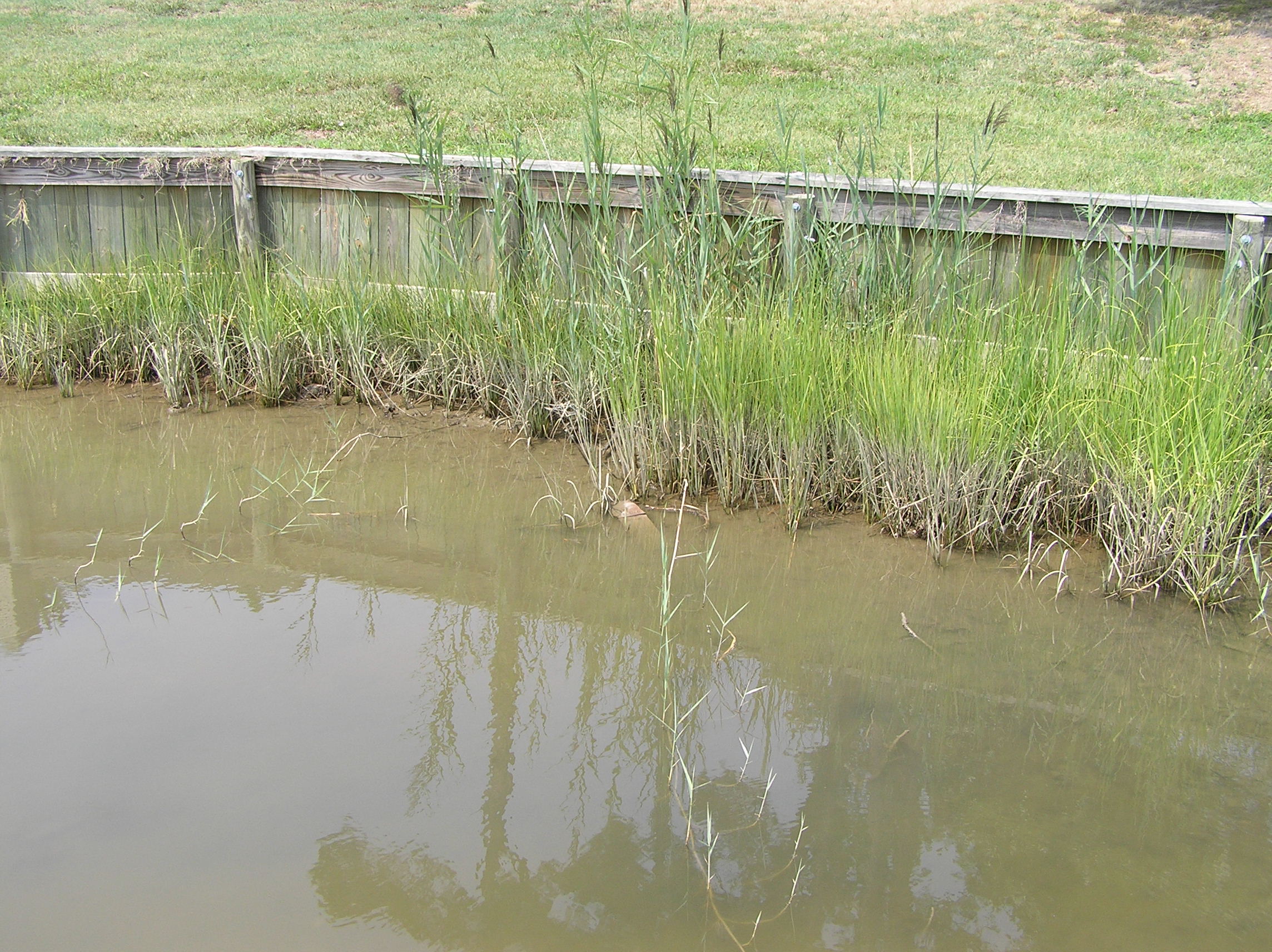
Tidal marshes are key ecosystems for conservation as they provide food and habitat for many fish, birds, reptiles, and mammals. They also help improve water quality by removing nutrients and sediments from the water.
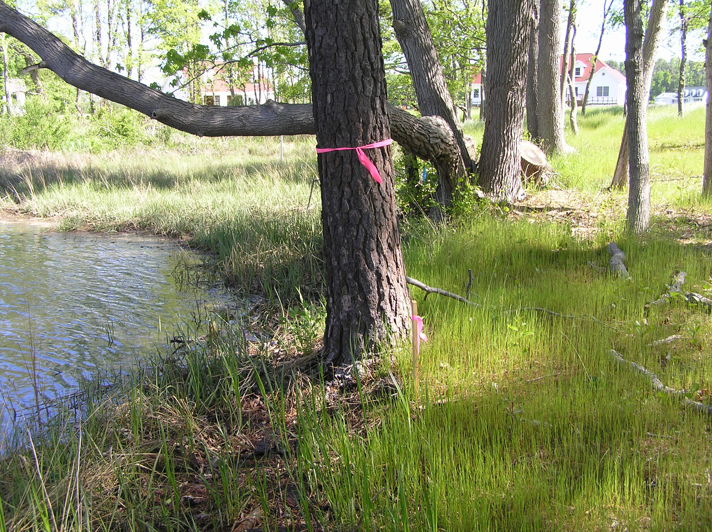
However, in many estuaries around the globe, they are having to respond rapidly to accelerated rise in sea levels, and must keep pace by building up sediment and moving landward. If they do not, they will drown.
Further, in areas with human development, certain land use choices are limiting the ability of marshes to migrate; impervious surfaces such as roads, driveways, parking lots, and houses do not convert to tidal marsh, reducing the available area for migration. Sea walls, bulkheads, and revetments can also act as barriers to a migrating marsh, causing them to drown.
Given the importance of tidal marshes, land managers are interested in ensuring that they continue to thrive into the future.
Conserving marshes in Chesapeake Bay
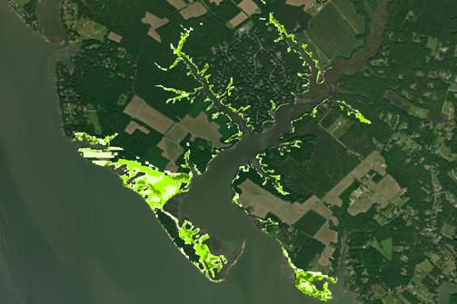
In Chesapeake Bay, USA, concerns about predicted declines in the marsh area have led to an interest in identifying and conserving areas to where marshes are likely to migrate. Protecting these lands combined with the management of existing marsh areas will maximize the future marsh extent.
In this project, we (scientists) teamed with managers from the Chesapeake Bay Program to understand where marshes are expected to migrate, and how we can target conservation efforts to promote tidal marsh longevity and persistence. Stakeholder groups consisting of local decision makers and a steering committee composed of regional managers were engaged in the process to ensure that the resulting methodology met current management needs.
There are several different models that can be used to predict the future location of marshes. Unfortunately, they all have slightly different inputs and therefore give slightly different outputs. Just as sea level rise predictions have uncertainty, predictions of where marshes will migrate and how fast they will migrate also have significant uncertainties.
However, we do not have the luxury of waiting to see which model is the most accurate; we need to make conservation decisions today.
To support this decision making, we developed a methodology that utilized a multi-model or “ensemble” approach. In an ensemble approach, the results of several different models are combined to create an envelope of relative certainty, based on consensus. For example, if all five models we used indicated that a particular area was likely to have marsh migrate into it, we would have compelling evidence that conserving that area will allow for future marsh expansion.
The output from five marsh model outputs were combined into a single Marsh Migration Corridor Envelope (MMCE) which encompasses the potential area of current upland that is expected to become marsh under a selected sea-level rise scenario. We then examined the current land use to ensure that it was suitability for marsh support (e.g. not developed land) as well as determining the socio-economic context (e.g. are they privately owned? What are the social vulnerabilities of the surrounding landowners?).
Finally, we looked at the current condition of existing marsh on the properties to determine if additional actions, such as erosion abatement or the addition of sediment, needed to be taken to promote their longevity.
This co-development process – where scientists, managers and stakeholders worked together to create a scientifically valid methodology that addressed a key management need – is important for managing our changing resources.
Two key components of the process that made it successful were: (1) the project was initiated by the stakeholders, not the scientists, and (2) there were multiple touchpoints during methodological development between the groups. The method has recently been implemented across Chesapeake Bay and is being actively used to support management decisions.
Read the full Practice Insights: “A marsh multimodel approach to inform future marsh management under accelerating sea-level rise” in Ecological Solutions and Evidence and discover more articles from our ‘Co-designed Projects in Ecological Research and Practice’ Special Feature.
Find the other early career authors and their articles that have been shortlisted for the Chico Mendes Prize 2023 here!

3 thoughts on “Conservation of future marshland”