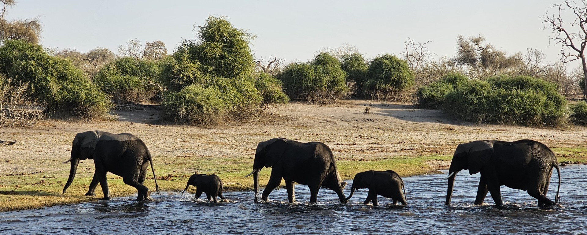
Wilks et al. share their experience investigating the potential use of satellite surveys to identify elephants in the heterogeneous terrain of Botswana, Africa.
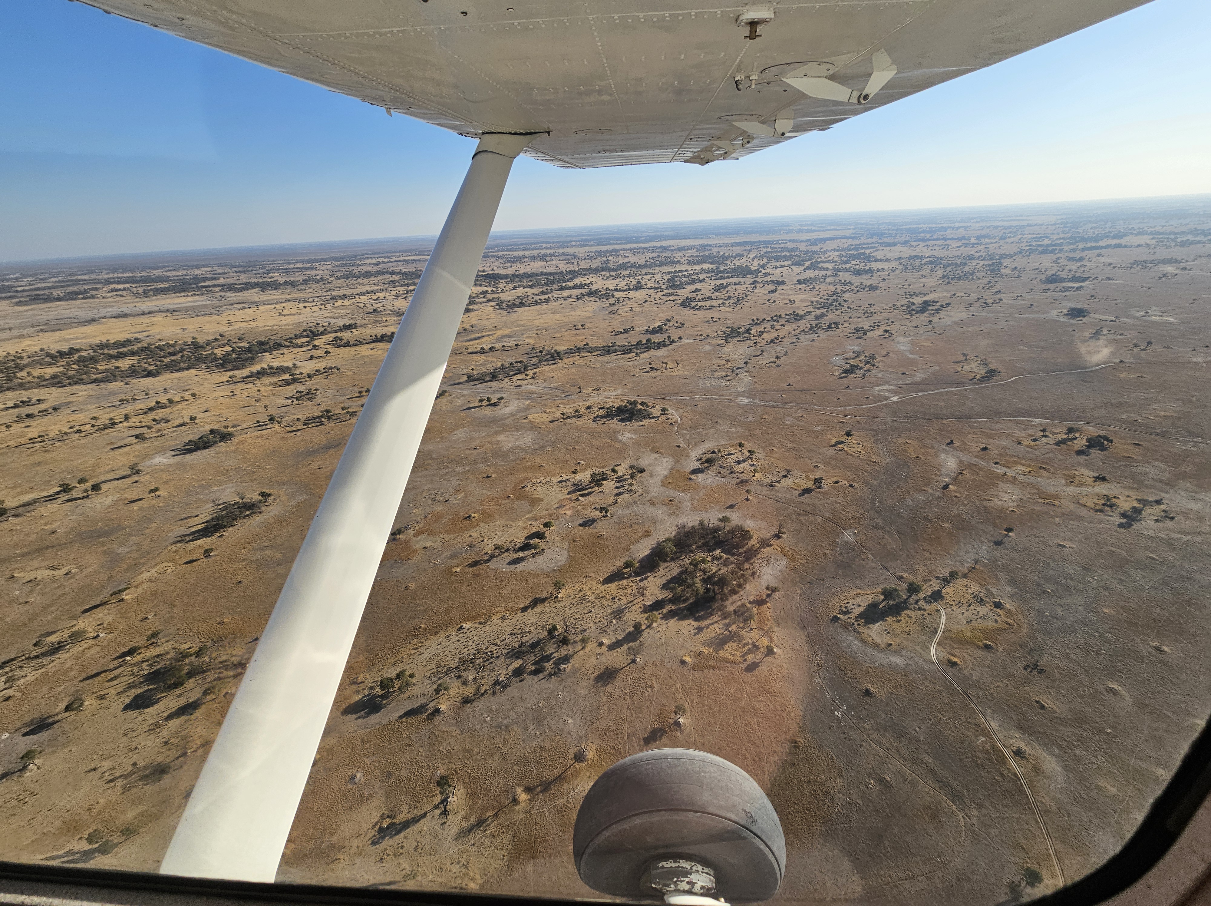
A small Cessna plane flies low across the vast expanse of the Okavango Delta in Botswana, with all eyes abord peeled to detect and record elephants as part of the country-wide aerial survey every 4 years. The survey will fly over 20,000 km of transects in total. For many conservation managers of large land mammals, such large-scale aerial surveys are the primary method of estimating population size, a vital number for directing government policy and conservation initiatives. However, surveys at this scale are logistically challenging, often requiring years of planning, months of flights and are inherently risky due to flying at low altitude. We therefore set out to study whether we could use high resolution satellites to instead remotely count large land mammals, such as elephants.
In our recent study, we determine the framework for translating observations of animals in satellite imagery into a robust estimate of population size. We cover all key survey stages: (i) survey design, (ii) automated detection with AI, (iii) validation site with ground-truth and (iv) corrections for bias (observer, vegetation-cover, behavioural). We apply this to a feasibility case study for a national scale satellite survey of African savannah elephants (Loxodonta africana) in Botswana using a 140km2 study site, and compare to the existing aerial survey method. We share our key findings below.
Elephant Visibility in Satellite Imagery with 30cm Resolution
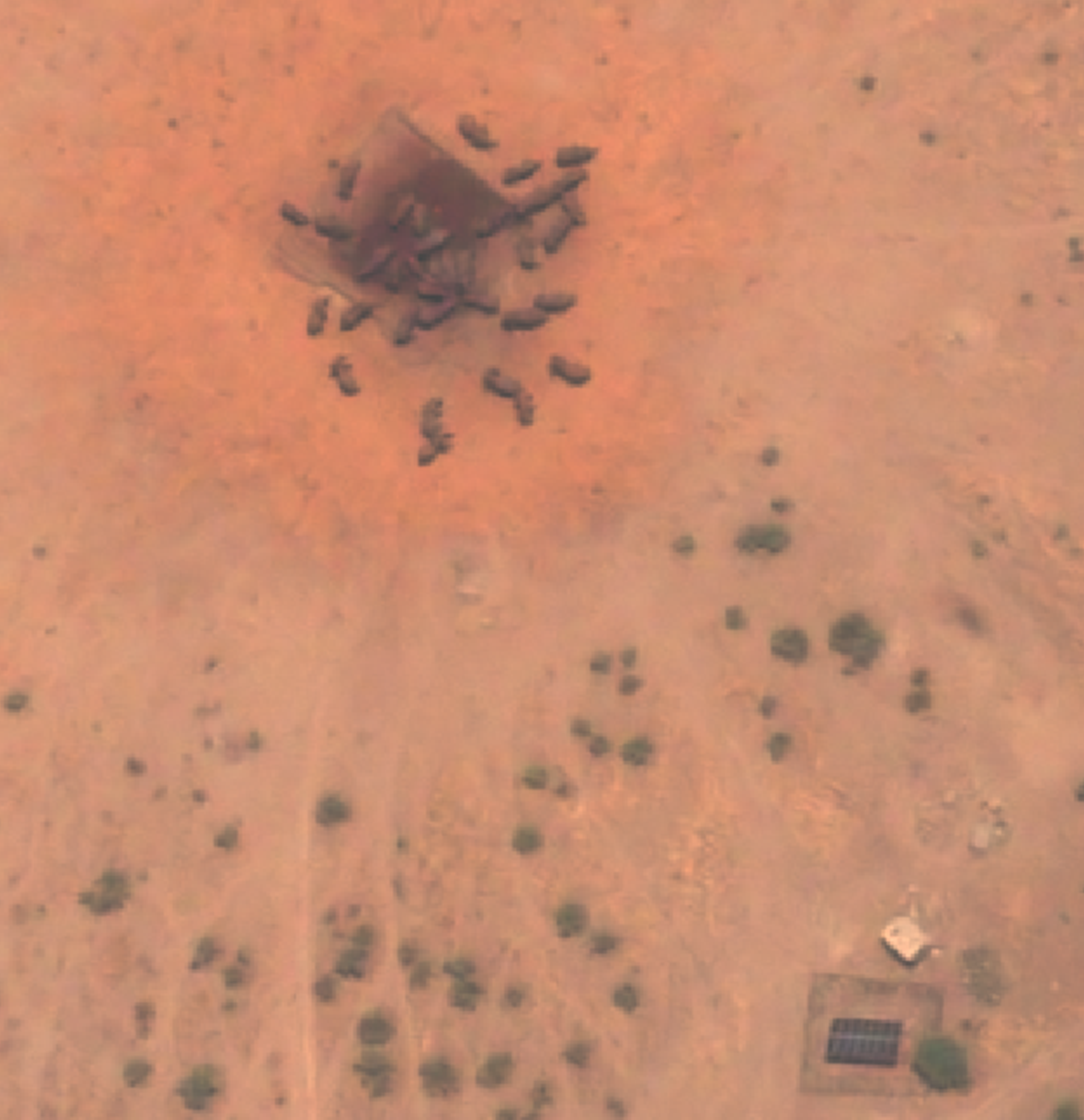
First, we investigate what we can reliably observe in satellite images with 30cm image resolution. Existing studies have shown that elephants are detectable in South Africa, and we also found this in Botswana, across a variety of common landcover types. However, we note that some detections of elephants in satellite imagery have increased uncertainty over aerial methods, with occasional image quality issues impacting detectability. Also, comparison with a reference satellite image was often necessary to avoid counting a rock, a tree or a shadow as an elephant. Additionally, we anticipate that misclassification with hippo, rhino and large bull buffalos may be an issue in shared habitats. Most importantly, a proportion of elephants will be hidden due to vegetation cover, in addition to young calves hidden beneath family members, and therefore we observe only elephants clearly visible from above. For visible elephants, we trained a proof-of-concept AI detector to automate detection with good performance.
First Validation: Satellite vs Aerial Count for Elephants
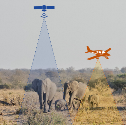
Validation of the satellite method against an existing aerial method is key for ensuring methodological rigour. We performed the first simultaneous satellite count (10.24am CAT) and aerial total count (09.16-10.40am CAT) for elephants at the study site, finding 15.7% fewer elephants by satellite. Differences were expected as satellites count visible elephants whilst aerial counts all elephants, and so we tested a simple correction for hidden elephants, leading to a final satellite estimate +13.8% larger than the aerial total. It is clear that the satellite estimate is sensitive to this necessary but non-trivial correction, and so we discuss further potential approaches to this in our paper.
Requirements for a Satellite Elephant Survey
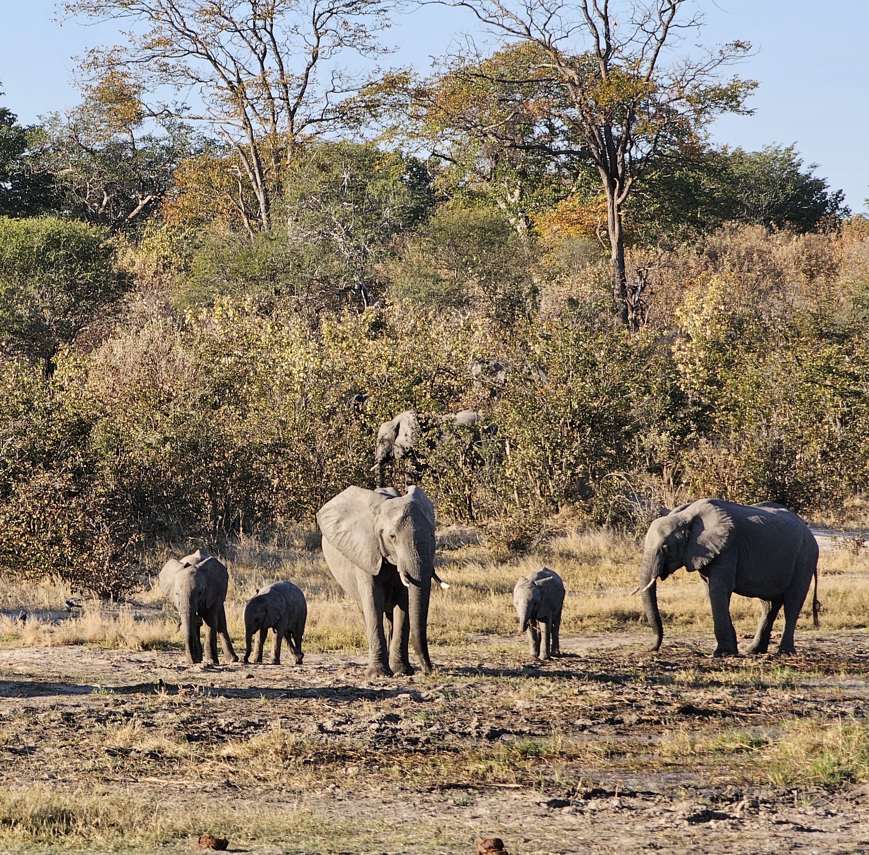
We also found that a complete satellite survey for elephants must account for a number of factors. On survey design, satellite methods should conform to existing aerial strata regions to ensure continued population trend-over-time analysis at local levels, a crucial management tool. However, implementing this requires careful design choices accounting for limitations in satellite observation (e.g. image width) and may be tricky as satellite acquisition tracks may not always neatly align with existing strata boundaries. On automatic detection with AI, to ensure robustness for large surveys, a wider variety of AI training data is needed of elephants across terrains and satellite angle of observation. On bias corrections, the corrections for hidden individuals must account for spatial variability, whilst the correction for AI observation errors must account for performance variation across terrain types and image quality level.
Satellites May Complement, Not Yet Replace Aerial Survey
Whilst we have determined a standalone satellite methodology for surveying, this is not yet a direct replacement for all aerial surveys, in particular the national aerial elephant survey in Botswana. Fundamentally for elephants, satellite methods present a methodological shift in population size estimation due to new reliance upon an influential correction for hidden individuals. This correction requires model development, potentially using supplementary data sources such as GPS tracks and a further set of satellite-aerial validation points. Additionally, there are several uncertainties in detection at 30cm resolution, however these will likely be fixed as newer planned satellites begin generating data approaching resolutions currently only achievable by drone or aircraft (7-10cm). Where satellite methods currently show most promise is for increasing the frequency of counts in intermediate years between aerial surveys, thereby supplementing existing count methodologies rather than replacing them.
Read the full article ‘Counting elephants from space: An analytic framework for wildlife abundance surveys in heterogeneous terrain using satellites and AI’ in Ecological Solutions and Evidence.

